Lookout Pass Ski Area sits on the crest of the Northern Rockies, on the line between Idaho and Montana, right off Interstate 90. This guide explains why the snow here behaves the way it does, what the terrain offers, and how to organize a day so the mountain works in your favor.
- The area sits on the Idaho-Montana border, so some runs drop into each state.
- It has a long history, with skiing documented here since 1935.
- A good day depends on checking conditions first and respecting the time zone change at the pass.
Where is Lookout Pass, and why does the location matter?
The pass is a gap in the Coeur d’Alene Mountains of the Bitterroot Range, and Interstate 90 crosses it at an elevation of 4,710 feet (1,436 m). It is also known as Exit 0 on the Montana side of the interstate. Understanding this setting explains much of what follows: a high crossing on a major highway means access is easy, and the ridge line you ski along is the state border.
The ski area sits on the eastbound side of the highway and straddles that border. The boundary follows the crest of the mountains, and at the pass it runs briefly east to west, with Idaho to the north and Montana to the south. In practice, this means you can ski in two states on the same run.
One detail catches visitors off guard. The pass is also a time zone boundary, with northern Idaho on Pacific Time and Montana on Mountain Time. If you are meeting friends, booking a lesson or watching the clock for the last lift, confirm which side’s time applies before you rely on your watch.
Why does the snow here have such a reputation?
The area describes an average snowfall of 400 inches of light, dry Northern Rockies snow. The figure matters less as a number than as an explanation. Cold, dry snow stays loose and skis predictably, and a deep base lets a resort open early and stay open late in the season.
That is the basis of the area’s reputation for early openings and a long season in its region. As a guide, treat these as reasons to look at current conditions rather than promises for any particular day. Snow quality changes with temperature, wind and recent storms, and a deep average does not guarantee a deep day.
Before you commit to the drive, build a short routine:
- Check the area’s own conditions report for base depth and recent snowfall.
- Look at the highway webcams, which show the pass itself from both the Idaho and Montana transportation departments.
- Read the forecast for temperature swings, since a warm spell and a refreeze change how the surface skis.
The webcams are especially useful because the road is part of the experience. Seeing the pass before you leave tells you about visibility and road surface as well as snow.
What terrain can you expect?
The area lists 59 runs, eight glades and three terrain parks, which spreads the mountain across a wide range of ability. Why that matters: a mix of groomed runs, tree skiing and park features means a group with different skill levels can share a lift and still ski terrain suited to each person.
The area is known for well-groomed runs and an unpretentious mountain feel. Groomers are the right place to start your day, because they let you judge the snow and warm up your legs before you commit to glades. Tree skiing rewards slower, more deliberate turns, and visibility under the canopy changes quickly in flat light, so stay within sight of your partners.
Access is also part of the design. All trails are accessible for adaptive skiers, and mobility devices are permitted throughout the ski area. Rentals for skiers and snowboarders are available on site, and two lodges offer places to warm up between runs, so you can arrive without your own equipment and still have a full day.
How did skiing begin here?
Lookout Pass has operated every winter season since 1935, and documented skiing with a rope tow dates to that year. Local ski pioneers chose the spot for its heavy snowfall and snow quality, a decision that still makes sense today because the same weather pattern defines the mountain.
Getting there was part of the adventure. Early skiers rode Northern Pacific railroad cars from Spokane, Coeur d’Alene and the mining towns of Wallace and Mullan, or traveled from the east out of Missoula. They stepped off at the summit and used a highway storage shed nicknamed Buzzards Roost as a warming hut. The pass was already a transport corridor, which is why skiing grew up around it.
That heritage is still visible. The original historic base lodge is described as the second oldest ski lodge in the northwest, with a cedar interior that recalls lodges of the 1940s. When you step inside, you are standing in a building that belongs to the story above, which is a good reason to take your break there instead of rushing back out.
How do you plan a day trip?
From Missoula, the area is roughly 90 minutes west on Interstate 90, a route that follows the Clark Fork River and valley before reaching the border. That is short enough for a single day, which suits a skier who wants powder without arranging an overnight stay.
Plan around the mountain in this order, and the reasoning behind each step will be clear:
- Check conditions and webcams the evening before, so you can decide whether the drive is worth it.
- Leave early enough to arrive before the lifts start moving, since parking and rentals take time.
- Ski the groomers first, then move to glades and terrain as your legs and the snow allow.
- Take a lodge break at midday to eat, hydrate and rest before the afternoon.
After skiing, the trip west has several useful stops on the way home. Winki’s Diner in St. Regis offers burgers, fries and shakes right off the interstate, about a 30-minute drive from the pass. Quinn’s Hot Springs Resort, reached by Highway 135 in roughly 20 minutes, has five naturally fed pools between 100 and 106 degrees, a sensible way to ease tired muscles before the drive back toward Missoula.
Winter driving deserves respect. Keep fuel in the tank, carry traction aids, and leave yourself time, because the pass is the highest point on Interstate 90 between Seattle and Missoula and weather there can change the pace of the whole route.
Related reading
- Little Cottonwood Canyon: Deep Utah Powder and How the Canyon Works
- Corn Snow Season: How to Time Spring Skiing
Sources
- Lookout Pass Ski Area (visitspokane.com, accessed 2026-11-04)
- Lookout Pass (destinationmissoula.org, accessed 2026-11-04)
- Lookout Pass — Wikipédia (en.wikipedia.org, accessed 2026-11-04)
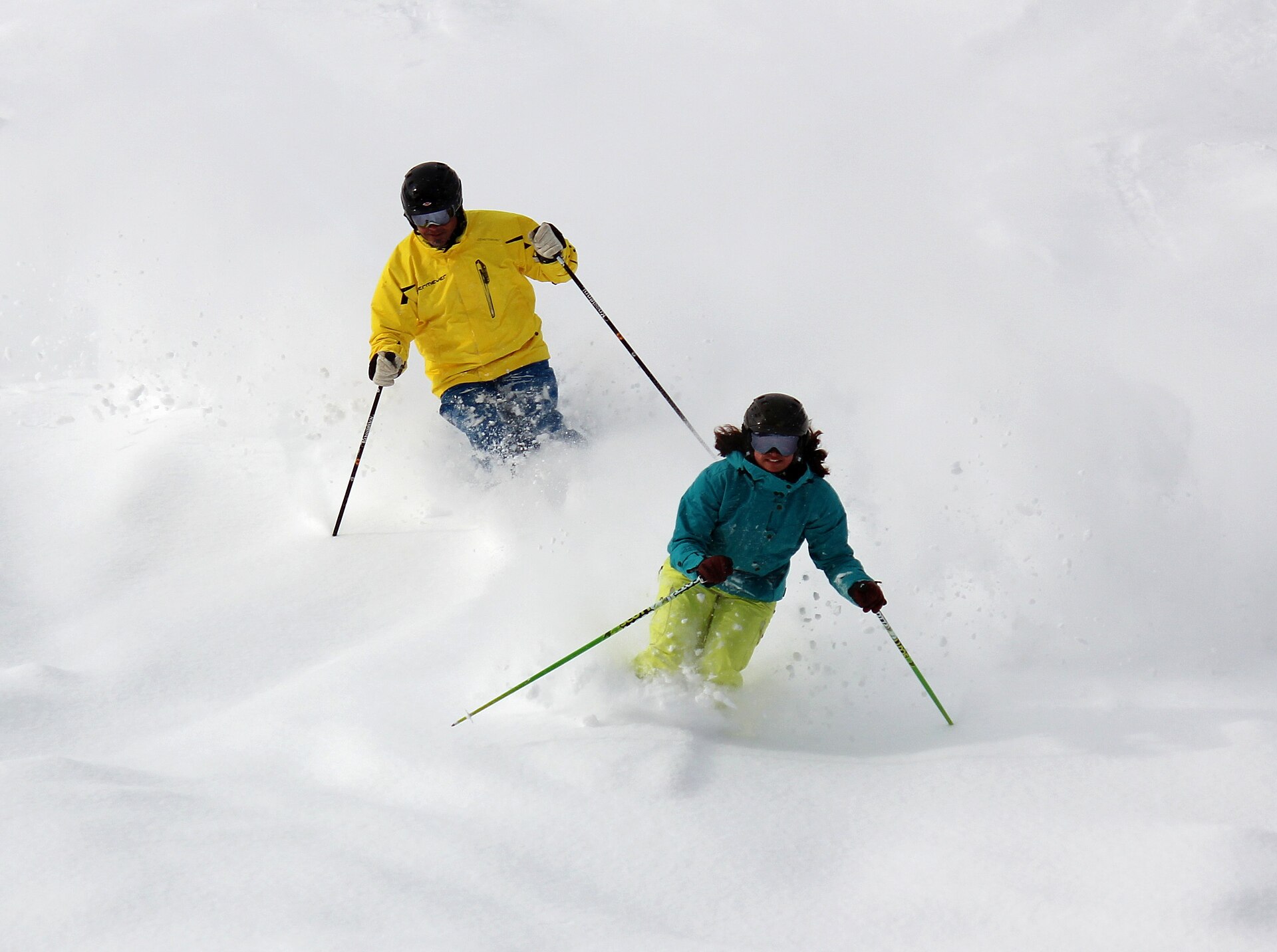
Photo: Downhill Skiing, Lookout Pass (40749762032), by Forest Service Northern Region from Missoula, MT, USA, Public domain (Wikimedia Commons)
